BIM, VDC and DRONE SERVICES
Advancing Construction with BIM & Drone Technology
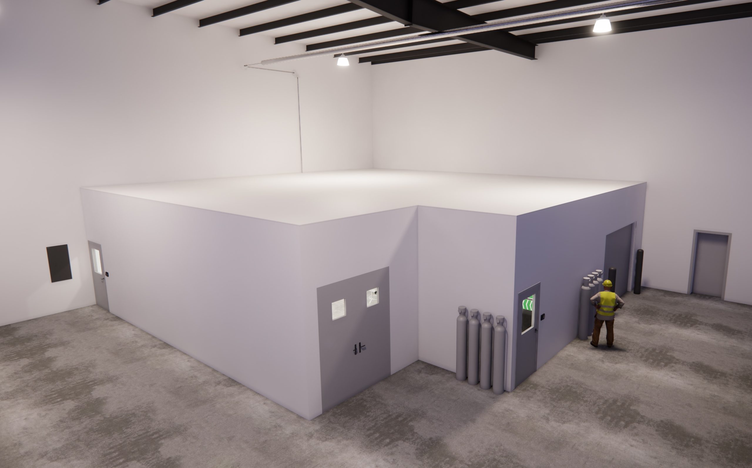
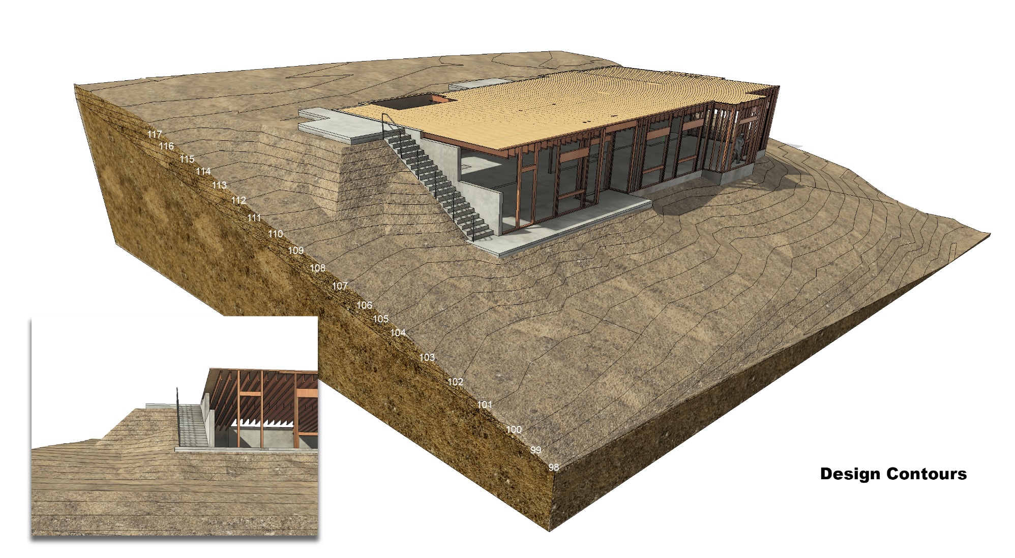
At TRICO, we push the boundaries of construction by seamlessly integrating Building Information Modeling (BIM) with advanced drone surveys and aerial imagery. This innovative approach fosters collaboration, allowing us to tailor projects to your specific needs. Our FAA Part 107 certified remote pilots capture high-resolution data, which is meticulously integrated into the BIM model by our experienced BIM services team.

BUILDING INFORMATION MODELING (BIM)

VIRTUAL DESIGN AND CONSTRUCTION (VDC)

DRONE SERVICES AND AERIAL IMAGERY

PROJECT VISIBILITY AND DATA-DRIVEN INSIGHTS
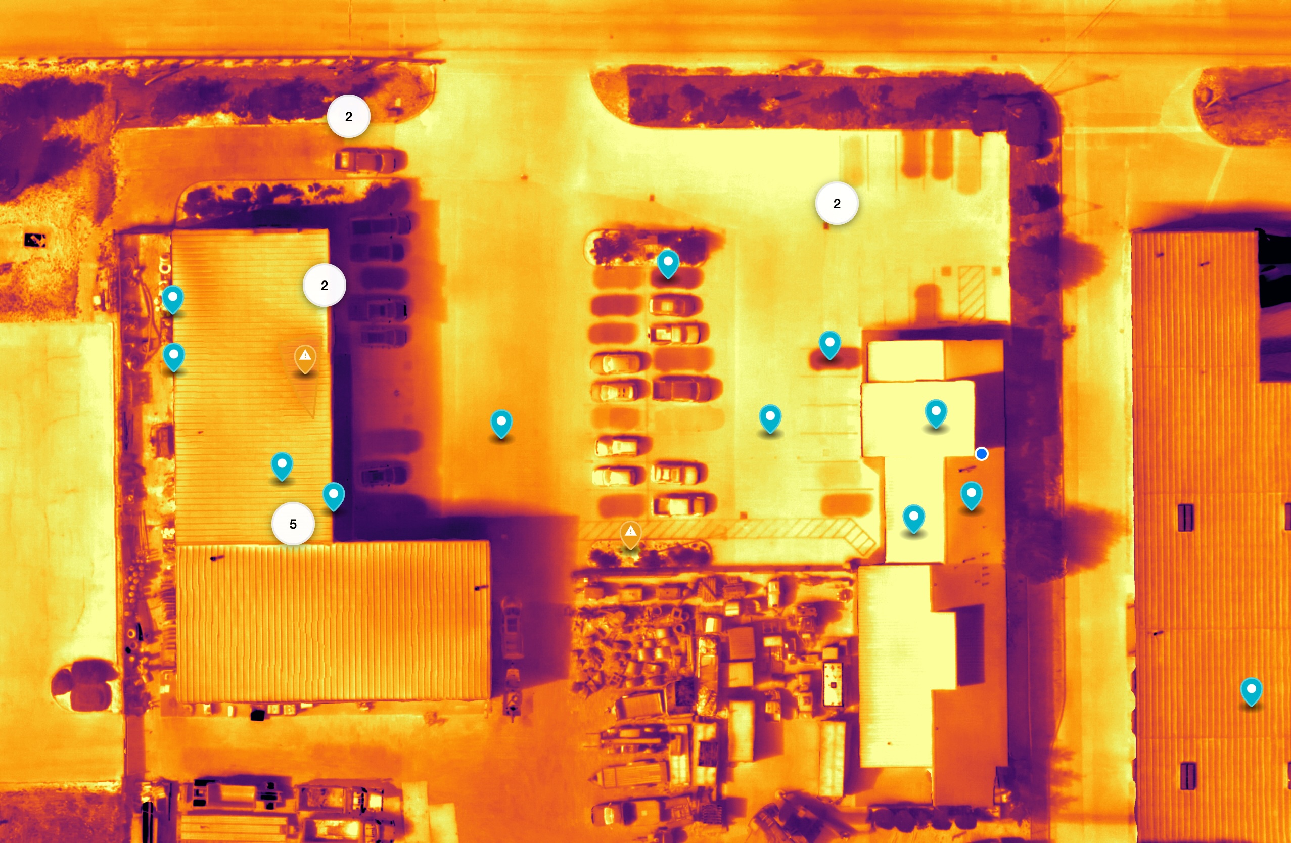
Gain a bird’s-eye view of your entire site, including structures, materials, and equipment, with our high-resolution aerial surveys, 3D mapping, and data collection solutions. This valuable data empowers you to:
-
Pre-Construction Site Assessment: Make informed decisions with a clear understanding of your site conditions before breaking ground.
-
Accurate Site Mapping & Modeling: Develop detailed 3D models for precise planning, design, and cost estimation.
-
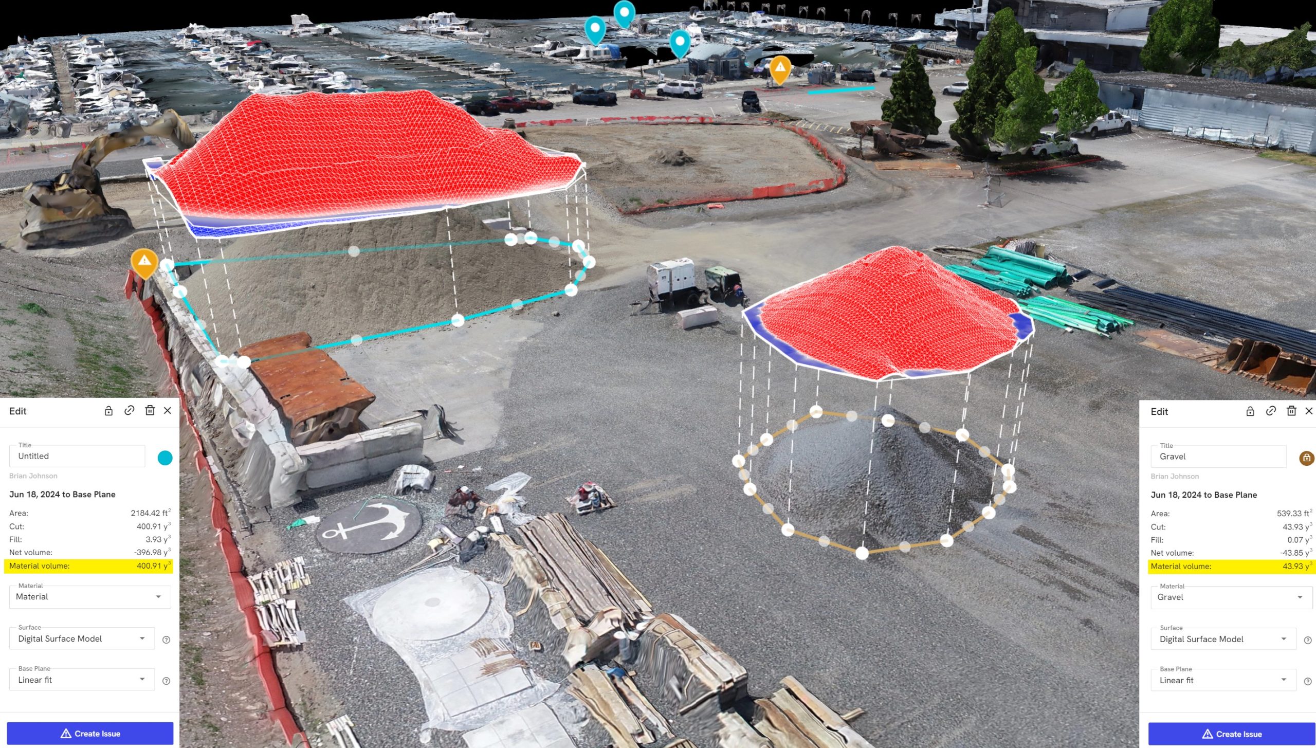
Efficient Measurement & Monitoring: Track excavation depths, stockpile volumes, and overall project progress with pinpoint precision.
-
Enhanced Safety & Security: Monitor jobsite activity and identify potential hazards from a safe distance, minimizing risk for your workforce.
-
Detailed Inspections: Safely inspect hard-to-reach areas or those deemed dangerous for human crews.

Call on TRICO for Your Design and Construction Needs
TRICO welcomes the opportunity to become a part of your team and build the success of your company. We offer much more than construction. We are an invaluable resource during preconstruction whether using the design-build or design-assist (with your architect) project delivery model. For more information, call or email us at your convenience.
"*" indicates required fields
